asakiyume: (far horizon)
I realized that the charming watermelon I'd bought at a farm stand came with a map imprinted on its rind--I guess all watermelons do; how did I not notice?

map of a wetland

It's a map of a wetland, rivers threading through buoyant land--the dark green is the rivers, the light green is the land, but you can see how streamlets are woven right into the land. You can travel by boat along the rivers, and the marshgrass is so high no one will see you the next river over.

Watermelons keep these maps on their rinds because they are water melons.
asakiyume: actually nyiragongo (ruby lake)
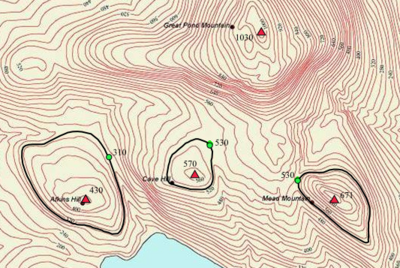
Last entry I said my thumb would be a steep climb if the lines of its print were topographical. Here now are some mountains' "fingerprints."

I was imagining a person who had the fingerprints of a mountain peak. [personal profile] sovay asked who would have these. I'm not sure, but I can imagine an egotistical jewel thief or other flamboyant criminal who would mask their own fingerprints with the prints of a mountain.

Which one though?

Mout Rainier looks good:


How about K2?


The volcano Popocatépetl has a beautiful fingerprint:


Fingerprints for the Matterhorn and Mt. Fuji are in comments (Dreamwidth comments) in the previous entry. Do you have a favorite mountain? Check out its fingerprint. You can see the fingerprint of Nyiragongo, the volcano in my icon, here.
asakiyume: (miroku)


If the lines inscribed on my hands and fingers were contour lines, what effort it would take to scale the steepness of my thumb.

thumb contour lines


asakiyume: (turnip lantern)
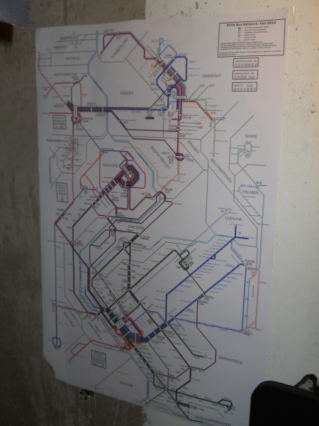
Elsewhere I mentioned in passing a wonderful creation of the tall one's: a transit map for western Massachusetts. Here you can see it in its native habitat, on the Pioneer Valley Transit Authority's website--and you can click for finer and finer detail. And here is the whole map, hanging on my basement wall:


What's wonderful about transit maps is how stylized they are. Boston's higgledy-piggledy becomes this; central Tokyo's spiraling layout become this. (I link to Boston and Tokyo, instead of London, whose stylized transit map was the first of its type, or New York, which is much bigger and more complicated than Boston, because Boston and Tokyo were the tall one's first experiences of transit maps, and their transit systems were what whetted his interest.)

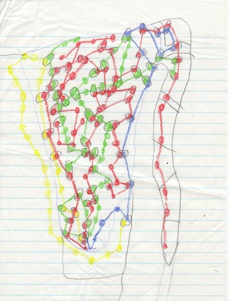
The tall one has been designing transit maps for a long, long time. Here's one from when he was in fifth grade or so:


So wonderful to see a childhood interest carry through to adulthood.


Profile

asakiyume: created by the ninja girl (Default)
asakiyume

June 2025

S M T W T F S
123 4567
891011121314
15161718192021
22232425262728
2930     

Syndicate

RSS Atom

Most Popular Tags

Style Credit

Expand Cut Tags

No cut tags
Page generated Jun. 8th, 2025 10:07 pm
Powered by Dreamwidth Studios